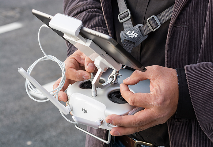
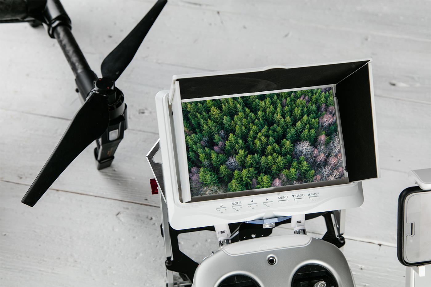
About us

DIGITAL FAUNA

We specialise in digital mapping and data acquisition for environmental consultants and land managers.  We have extensive experience in conservation and large scale land management and our services are focused on providing cutting edge technological solutions to enable our clients to manage the environments in their care more efficiently.  We offer a range of services from digital 2D/3D mapping, drone and ground based surveys, thermal wildlife monitoring and GIS mapping as well as 3D printing of digital models.

AERIAL PHOTOGRAPHY

We Are Fully Insured and CAA Licensed Drone Pilots &
Aerial Photography Professionals

PRICING

WE OFFER

We can offer either a standard pricing structure or for larger projects and longer-term engagements we’re happy to discuss bespoke pricing with our clients.  Contact us and we’ll be happy to discuss your particular project pricing options.

1/2 Day
From £350 + VAT
Free desktop pre-flight assessment
Site survey and risk assessment
Remote Pilot & Camera/Ground Operator
Raw photos and video
 
Full Day
From £650 + VAT
Free desktop pre-flight assessment
Site survey and risk assessment
Remote Pilot & Camera/Ground Operator
Raw photos and video
 
Thermal Survey
From £850 + VAT
Free desktop pre-flight assessment
Site survey and risk assessment
Remote Pilot & Camera/Ground Operator
Raw photos and video